 |
| Hand Illustrated Map of Manhattan by Kening Zhu Used with CC License |
I picked up that map over twenty years ago, and I can still picture it clearly. It made an impression. That map represented my home, new at the time, but familiar after my five years of undergraduate courses. I used it and wore out its seams. I walked it and made mental notes.
I suspect there's a lot I can continue to learn about myself and my ever-changing definition of "home" if I attempt to map and remap, both physical and metaphysical aspects, of wherever I might be at any given time.
Step One: Defining "Home"
The first step in this personal cartography project is to define "home," and not just by opening Webster's Dictionary. The lock-making company Schlage makes a point of defining home outside the boundaries of the dictionary in a 2020 blog post entitled "What is the meaning of home? Hint: It’s not just a place." This post specifically juxtaposes the Merriam-Webster definition: Home isn't just a "residence," "domicile," or "house," they argue. Instead, the post defines it as "the intangible feeling" a person might experience in a specific place, "a sense of peace, joy from loved ones or an environment where everyone knows they’re welcome." They go on to include several definitions of home that extend far beyond the dictionary definition.
"Home" is also not always delineated as simply as my introductory map example might suggest. "Home" is complicated. "Home" often includes, but is not limited to a house, per Webster's, and at the end of the day when someone says, "I'm heading home," they might mean their house. However, if someone was going on vacation, they might also respond, "I'm heading home," but mean the place where they grew up. This might be entirely different from where a person feels most "at home." For some, a special place in the woods where they first went camping feels the most "like home." For others, their grandparents' property most fits their definition of "home." Although very rarely just a single house, "home" might evoke a collage of houses, all linked by the roads and bridges and telephone lines that keep a family connected. "Home" might be a hotel room or a specific aisle in a specific library. "Home" might be a neighborhood or college campus. Some "homes" have no boundaries at all, and when asked, a person might tell you the world is their "home," or wherever they currently live is their "home." Some people, on the other hand, have no answer ready and haven't considered the question until asked. Each response depends entirely on a person's experiences in the world and their reactions to those experiences, both positive and negative.
Step Two: Narrowing the Topic
After defining "home" based on personal experiences, the second step is to narrow the scope of the cartography project.
Just as when narrowing a writing topic, the scope of a map can be narrowed by choosing an intended audience. For example, if the intended audience is "family members," including the homes of all the family members would be important, so the boundary of the map should encompass all the homes. The intended audience might also be a group of friends who play a table-top role playing game together. Perhaps their "home" is a specific location or area on a fantasy map. A couple who takes a meaningful road trip might choose to map the path and places of interest as a memento for themselves.
A second way to narrow the scope of the project is to construct a theme or motif. A meaningful map might include all places a person has kayaked, canoed, or rafted, especially if that person feels "at home" when engaged with those activities. A foodie might mark all of their favorite hometown restaurants on a map. A person living in a new place might take the opportunity to walk their new neighborhood and construct a map from memory afterwards to mark the occasion, or a person who'll soon be moving might want to construct a map of the place they'll be leaving.
Step Three: Drawing and Labeling Places and Landmarks
The third step of the personal cartography project requires ranking landmarks and places.
"Home" becomes a matter of inclusion and exclusion as map-makers finish deciding where to place boundaries and begin to decide which places or landmarks will be included or emphasized on the map. A person's house may have prominence and be placed in the center of the map, or a series of places might be of equal importance and be drawn around a central point. Places that have more importance might be drawn larger than places of lesser importance. The importance of specific roads will determine the level at which the map is drawn, as well. If all important locations are on major roads, only major roads might be labeled. If some important locations are on minor roads or side streets, the maker will have to decide if labeling the side streets is important. The maker will have to decide the scale or "zoom level" of their map.
Step Four: Taking Pencil to Paper
The final step of the personal cartography project is taking pencil to paper and making the map.
It's worth pointing out that there are several reasons why a person may prefer a paper map to an electronic map, including that paper maps don't need to recalculate (Berendsohn). Beyond the pragmatic and practical reasons, however, the act of mapmaking on paper can be both a kinesthetic and meditative practice.
After deciding which important landmarks and places will be emphasized and labeled within the confines of the boundary of the map, a maker must take pencil to paper and begin making the map. It can either be finished on paper, or electronically. After drawing out initial ideas, the map can be constructed isometrically using computer software or special drawing paper and tools. The map might be painted in watercolor, or it could be constructed using collage techniques. The map might be created using a vintage style, in fantasy style, or look more like a cartoon. It could be meticulously created in CAD. The decisions about the style and form of the map might be made based on pragmatic matters, like budget, skillset, and time constraints, or it might be more meaningful. For example, a watercolor map of places a person has made plein air paintings would be reiterative.
 |
| Postcard Map of the Lake District Used with CC License |
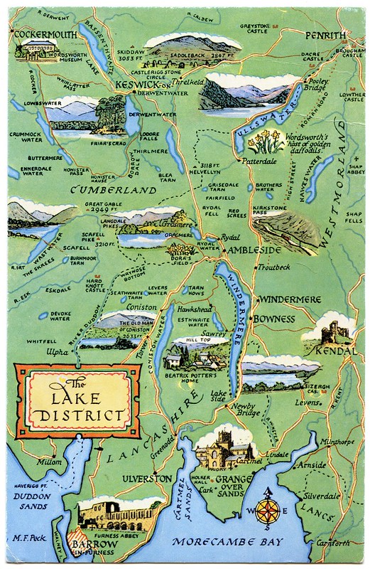
The more I've travelled, the more of those same types of city maps I've encountered, like the one made for Mt. Pleasant Michigan that I picked up back in 1994. I've collected a number of similar-looking Discovery Map International tourist maps and MapCo Marketing event maps. I've drawn maps in art journals and even attempted postcard maps. Sometimes the map-making occurs spontaneously and I can think about my choices after the fact, and sometimes it's meticulously planned. Some have been successful, and others were simply steps in the process of becoming better - better at understanding myself, a better artist, better at remembering a place or how it evoked a certain feeling.
Sometimes the maps evoke powerful feelings of home, depending on my affection for the city. However, the more important considerations are how I choose to define the map, its intended audience or purpose, and any thematic or meaningful principles.
Each day might, in that way, bring a new map onto the page.
Works Cited
Berendsohn, Roy. "6 Reasons You Should Always Have a Paper Map." Popular Mechanics, 19 Nov. 2018, www.popularmechanics.com/adventure/outdoors/a25228379/paper-map/.
“What Is the Meaning of Home? Hint: It’s Not Just a Place.” www.schlage.com/blog/categories/2020/11/meaning-of-home.html. Accessed 22 Sept. 2023.
.JPG)


No comments:
Post a Comment